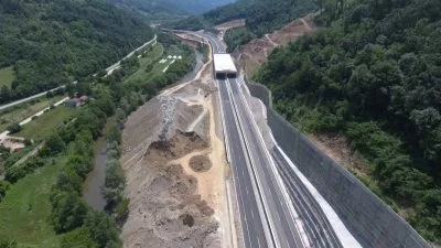
3D Mapping & Topographical data analysis
Our services
3D Mapping & Topographical data analysis
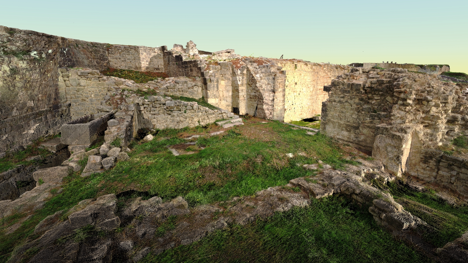
The extraction of features from airborne and mobile survey systems forms the bedrock of feature-based mapping. Transforming billions of data points into a manageable set of features that resonate with diverse industries is the essence of this field.
At Geotaur, our extensive experience in 3D map production spans a wide range of applications and data sources. We’ve successfully extracted over 5,000 kilometers of rail and road data, and our topographical maps have earned high praise from clients and institutions alike. Our commitment to quality is unwavering, and our rigorous quality controls leave nothing to chance.
3D Maps Production
Harness the power of 3D mapping for a multitude of purposes using data
from various devices and manufacturers.
Feature Extraction
Expertly reduce complex data into recognizable features tailored to your industry’s needs.
Topographical Data Analysis
Gain valuable insights from our topographical data analyses,
backed by our track record of excellence.
Quality Assurance
Rest assured, our meticulous quality controls ensure the accuracy and reliability of our mapping and analysis.
To learn more about our services, please click the “Download” button to access the Geotaur Capability Brochure.
DownloadOur services
Other services we offer
Terrestrial laser scanning & data processing
Laser scanning technology provides a fast and cost-effective method of getting more accurate and highly detailed 3D models of the required objects.
Photogrammetry
Digital photogrammetry aims to establish the geometric relationship between an object and a digital image, deriving essential spatial data exclusively from the image itself.
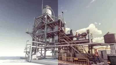
3D modelling & BIM
Using various types of software Geotaur can create an intelligent BIM 3D models with specified level of detail, from LOD 100 to LOD 400.