Panoramic imaging and web based point cloud viewer
Our services
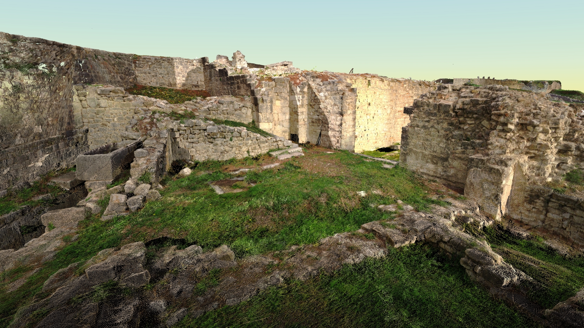
Panoramic imaging and web based point cloud viewer – PANOTAUR
PanoTaur is your go-to Virtual Tour creation software, offering a seamless way to explore real-world panoramas and digital models.
Whether it’s indoor or outdoor, small or expansive projects, our platform breaks all limits. Our core focus is on delivering top-tier visualization and panorama integration.
Create Your Virtual Tour: Craft your own immersive tours effortlessly using our user-friendly platform.
Alternatively, let our skilled team do it for you, ensuring a captivating experience for your customers and friends alike.
Point Clouds, 3D Models, Panoramas: Dive into the world of spatial analysis with our online platform.
Our web-based platform is designed for point clouds, 3D models, and panoramic images, offering a wealth of possibilities for visualization and analysis.
Unleash the potential of PANOTAUR and elevate your visual storytelling. Discover more about our platform by visiting PANOTAUR‘s website.
To learn more about our services, please click the “Download” button to access the Geotaur Capability Brochure.
DownloadOur services
Other services we offer
Terrestrial laser scanning & data processing
Laser scanning technology provides a fast and cost-effective method of getting more accurate and highly detailed 3D models of the required objects.
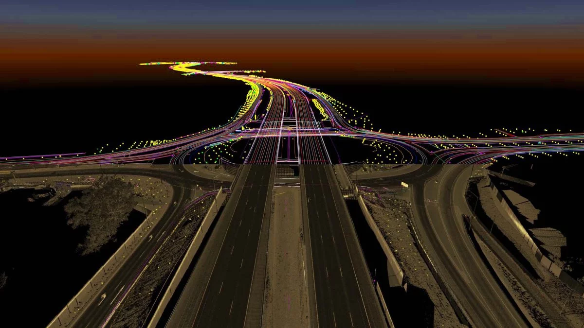
3D Mapping & Topographical Data Analysis
Geotaur stands out in 3D Mapping and Topographical Data Analysis, where we transform extensive survey data into manageable features for diverse industries.
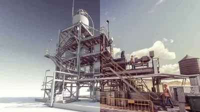
3D modelling & BIM
Using various types of software Geotaur can create an intelligent BIM 3D models with specified level of detail, from LOD 100 to LOD 400.