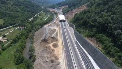
Airborne & Mobile Lidar
Our services
Airborne & Mobile Lidar
At GEOTAUR we boast extensive expertise in the application of airborne and mobile LiDAR technology. Our capabilities encompass the entire workflow process, ranging from data acquisition, quality control, feature extraction to the presentation of meticulously processed spatial data.
Applications of Airborne & Mobile LiDAR Data
Our airborne and mobile LiDAR data solutions are invaluable across various domains, including:
Topographical Maps: Precision elevation data for accurate topographic mapping.
Building Information Systems: Detailed 3D data for architectural and construction applications.
Geographical Information Systems (GIS): Geospatial data for comprehensive GIS applications.
Object and Ground Modeling: High-resolution data for object and terrain modeling.
Environmental and Urban Planning: Supporting sustainable urban development and environmental assessment..
Forestry: Forest resource management and ecological studies.
Airborne and mobile LiDAR technology is renowned for its speed and accuracy, making it the preferred choice for rapid and precise surveys. If you’re looking to harness the power of LiDAR technology for your spatial data needs, trust GEOTAUR to deliver exceptional results.
To learn more about our services, please click the “Download” button to access the Geotaur Capability Brochure.
DownloadOur services
Other services we offer
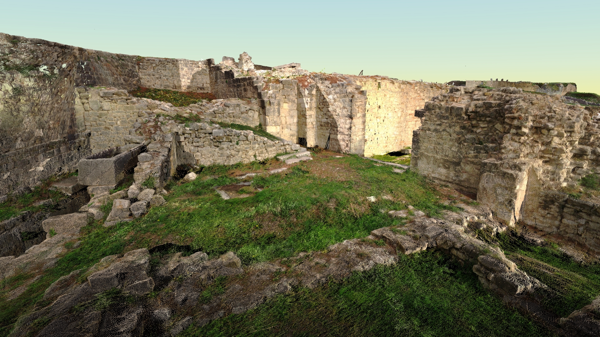
Terrestrial laser scanning & data processing
Laser scanning technology provides a fast and cost-effective method of getting more accurate and highly detailed 3D models of the required objects.
Photogrammetry
Digital photogrammetry aims to establish the geometric relationship between an object and a digital image, deriving essential spatial data exclusively from the image itself.
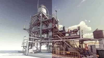
3D modelling & BIM
Using various types of software Geotaur can create an intelligent BIM 3D models with specified level of detail, from LOD 100 to LOD 400.